 01
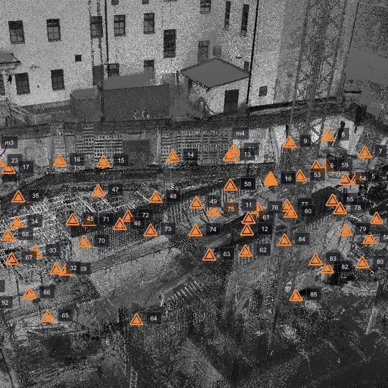
01POINT CLOUD PROCESSING
Transforming raw scan data into clean, structured and optimized point clouds ready for further analysis, modeling and documentation.
 Let’s talk
OUR EXPERTISE
From the first measurement to the final model. Connected expertise across the entire data lifecycle.
01Transforming raw scan data into clean, structured and optimized point clouds ready for further analysis, modeling and documentation.
 02
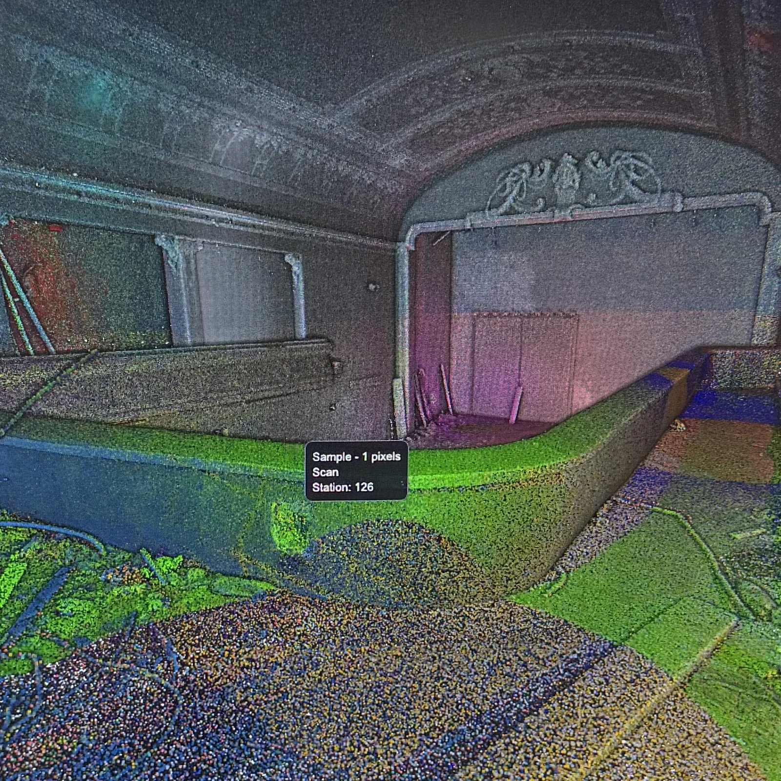
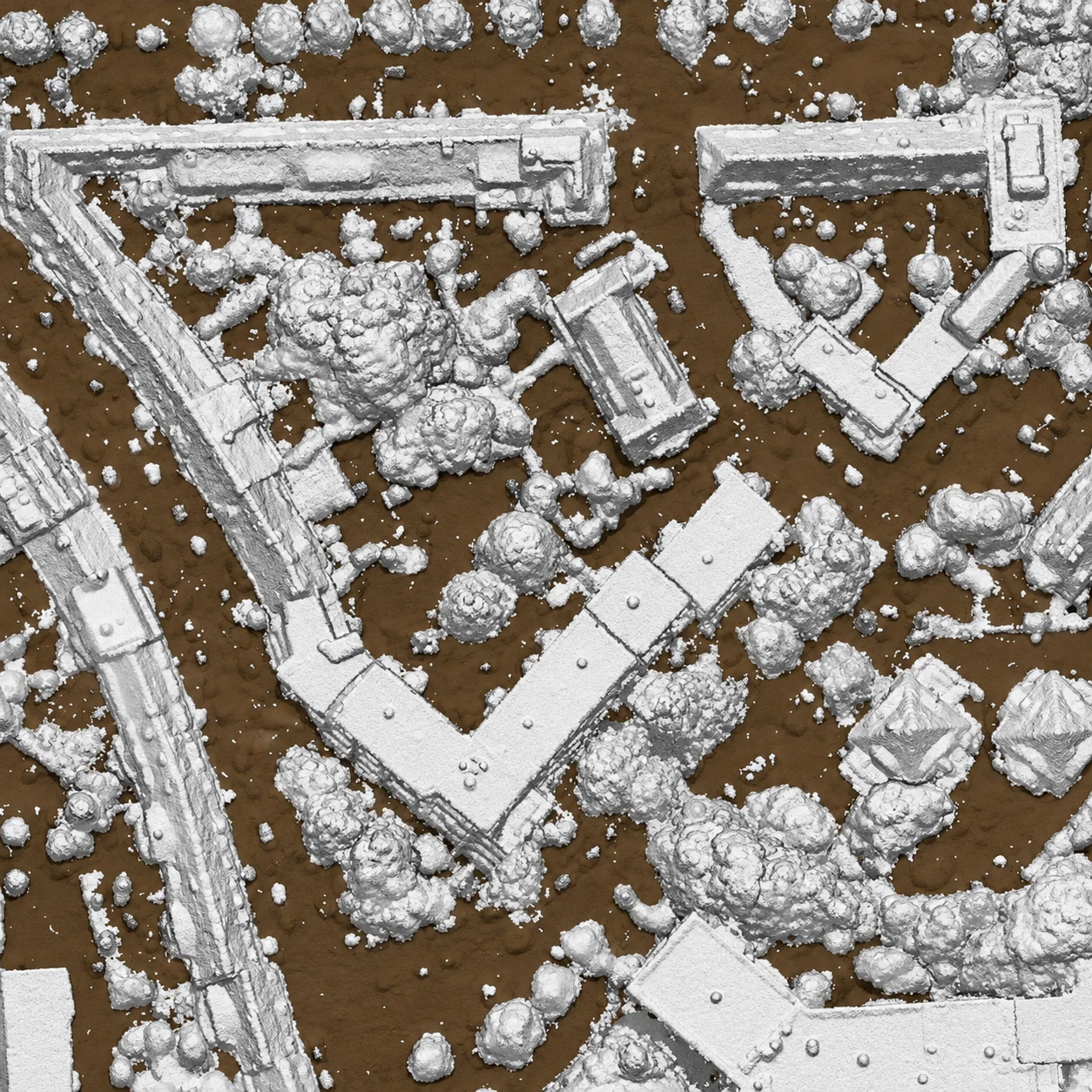
02Precise alignment and registration of multiple scans into a unified, accurate and georeferenced point cloud.
 03
03Organizing point cloud data into meaningful classes to simplify analysis, extraction and further processing.
 04
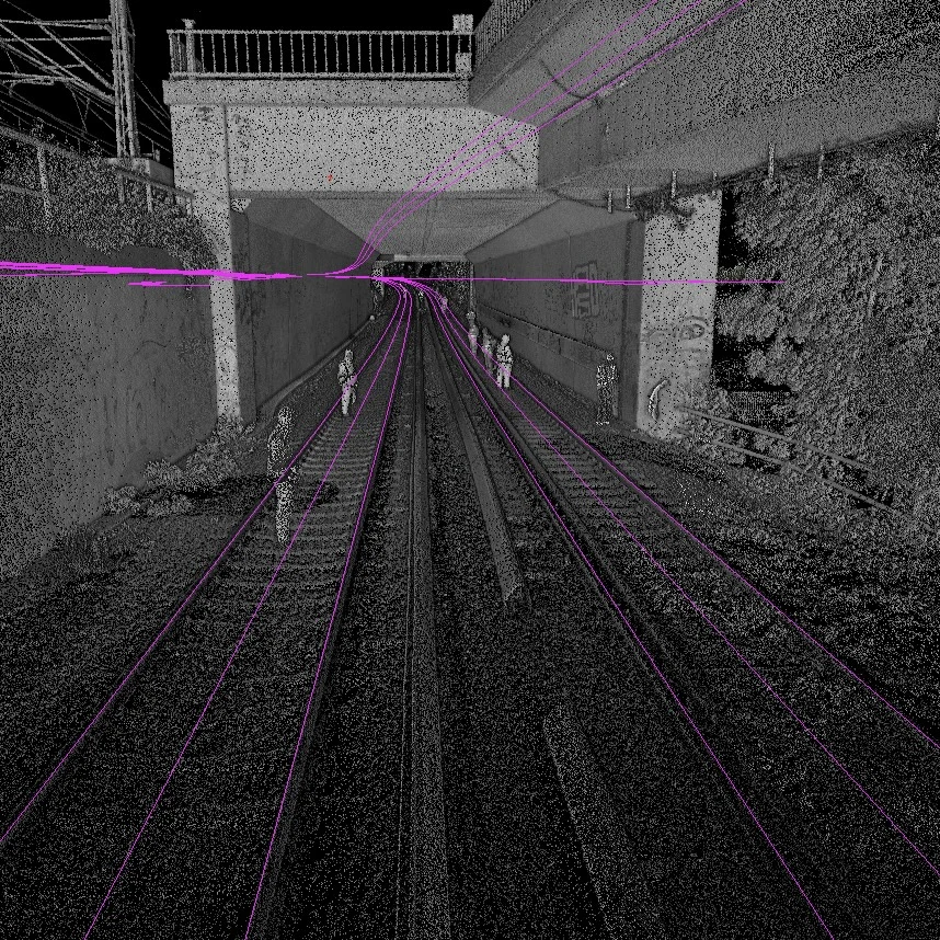
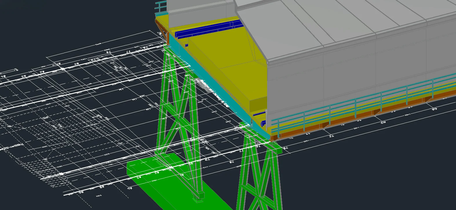
04Extracting precise 3D features and objects from point cloud data to create structured, accurate and project-ready CAD and geospatial datasets.
 05
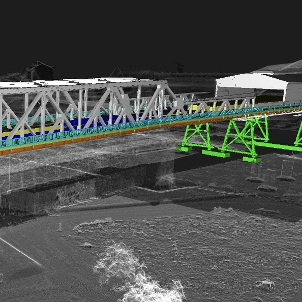
05Converting reality-capture data into accurate, structured BIM models representing existing buildings and infrastructure.
 06
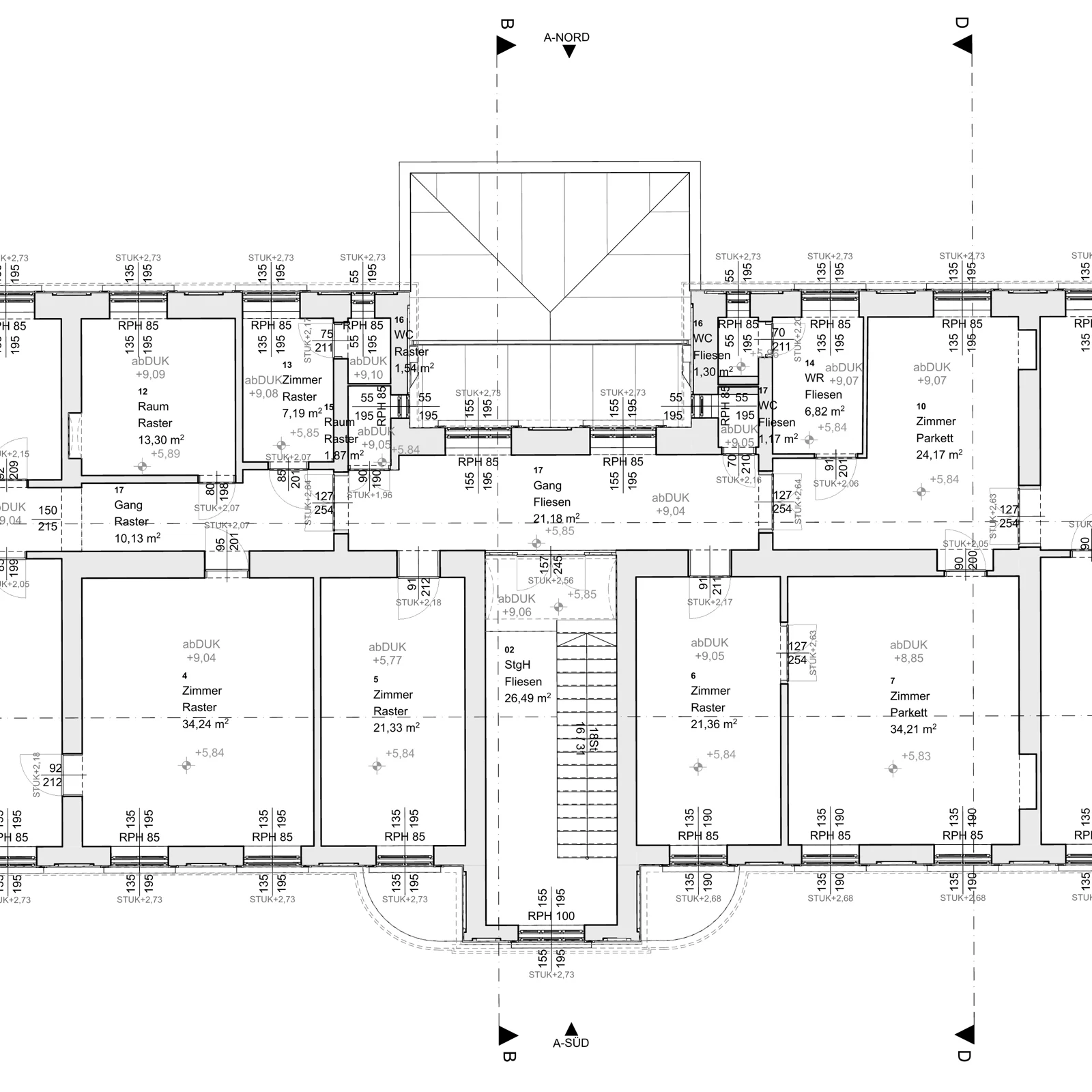
06Transforming point clouds into precise 2D and 3D CAD drawings, including floor plans, sections, elevations and technical documentation.
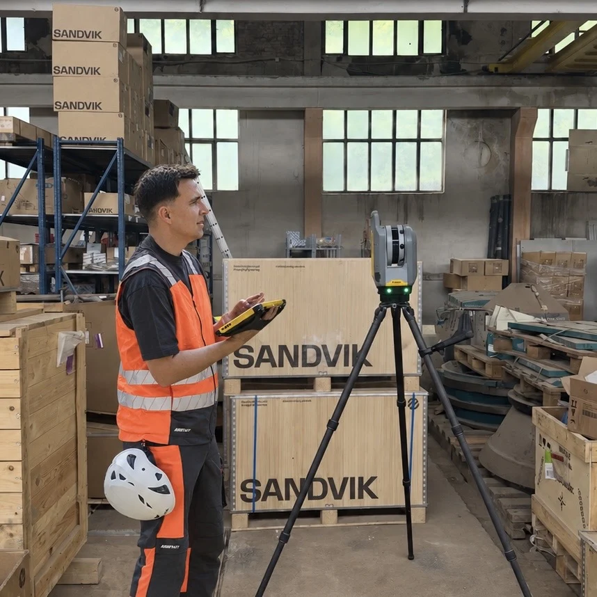 01
01High-precision 3D reality capture of buildings, infrastructure and complex environments, delivering detailed and measurable point cloud data.
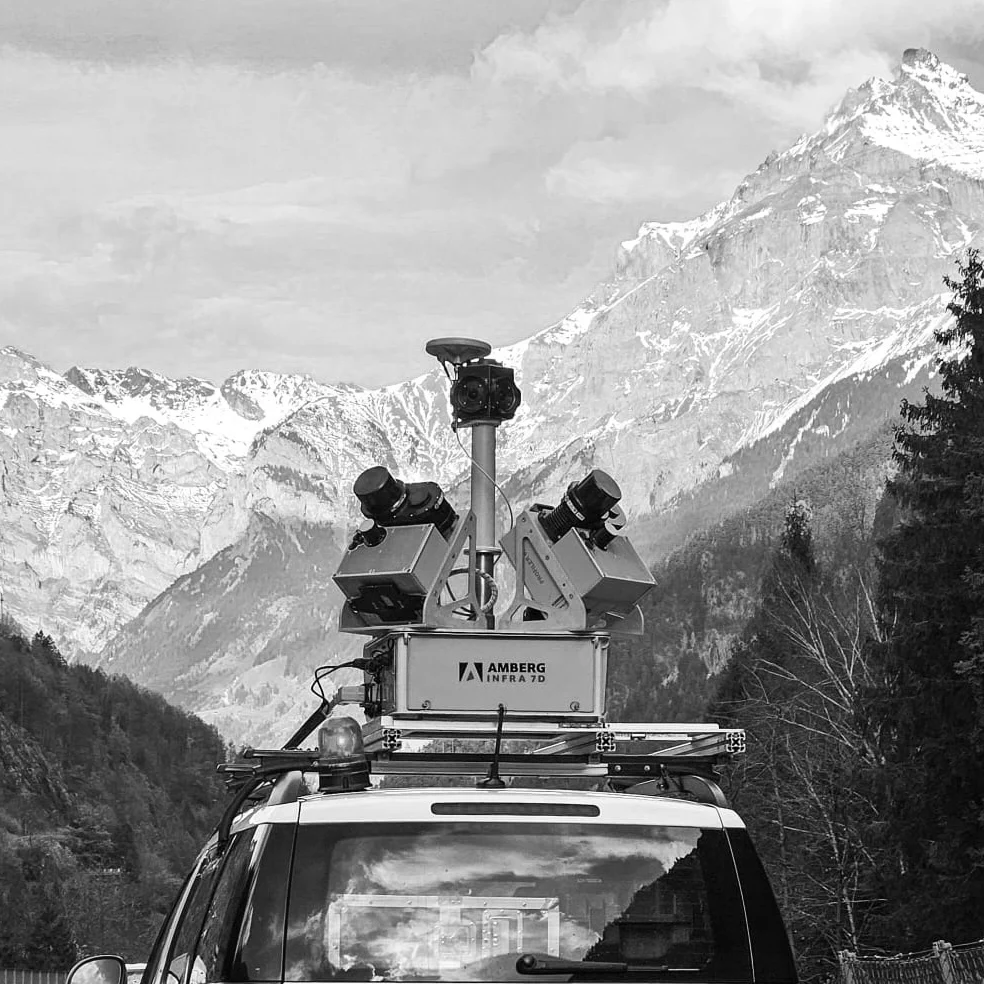 02
02Efficient large-scale data capture using mobile mapping systems for roads, railways, urban areas and infrastructure corridors.
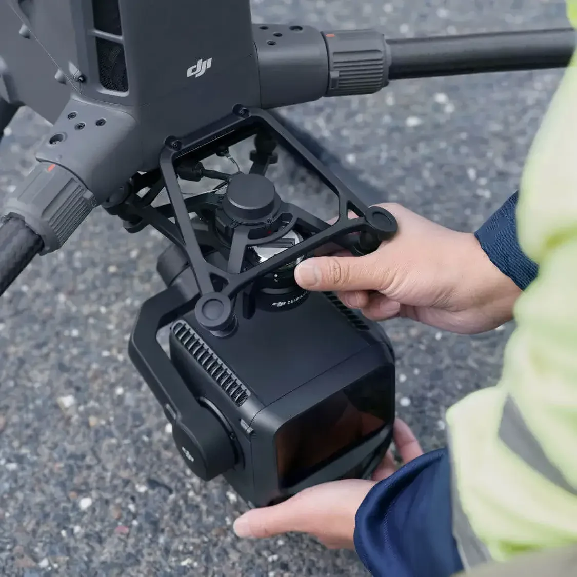 03
03High-density LiDAR data acquisition for precise 3D mapping of terrain, infrastructure and built environments.
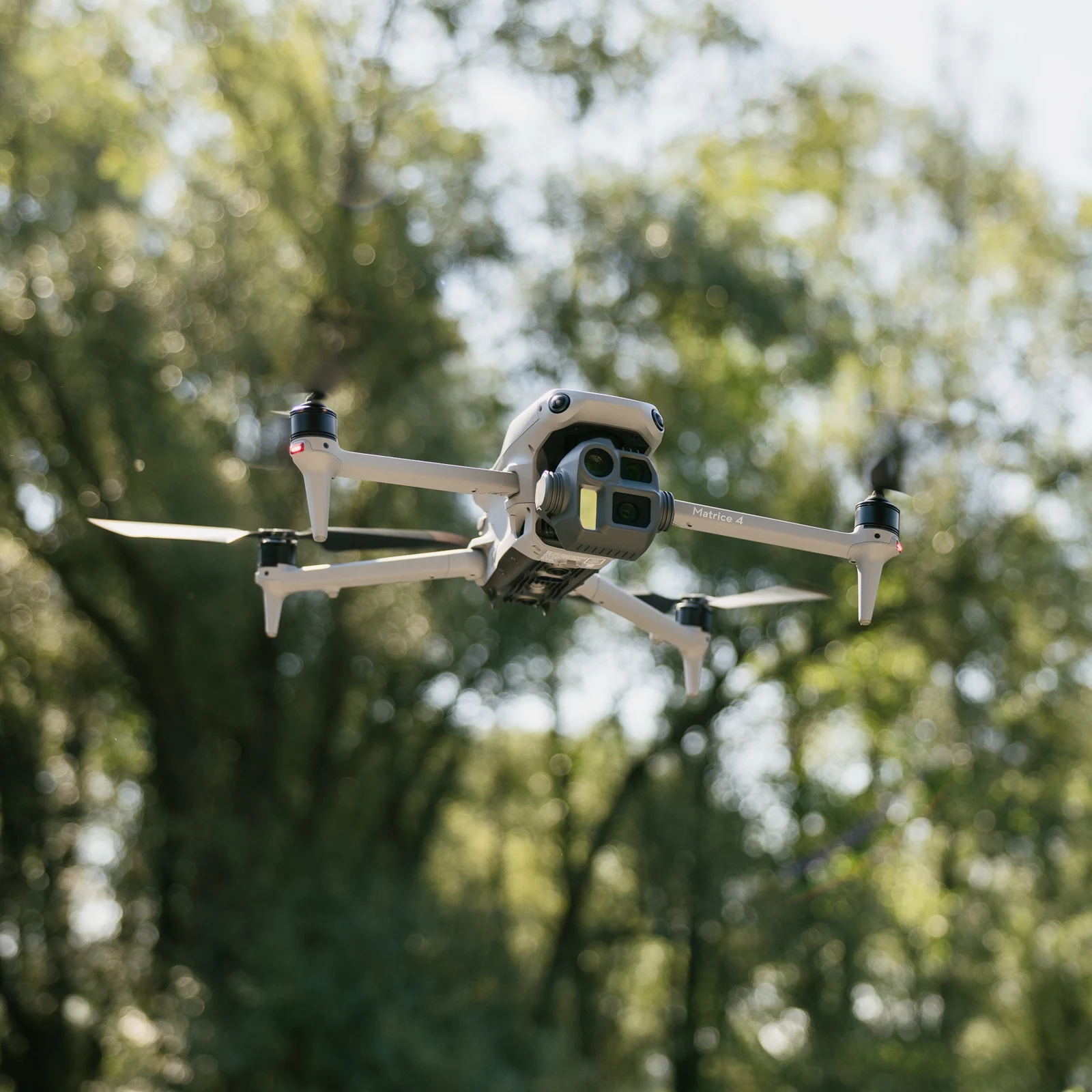 04
04Aerial data acquisition and photogrammetric processing for orthophotos, 3D models, point clouds and large-area mapping.
 05
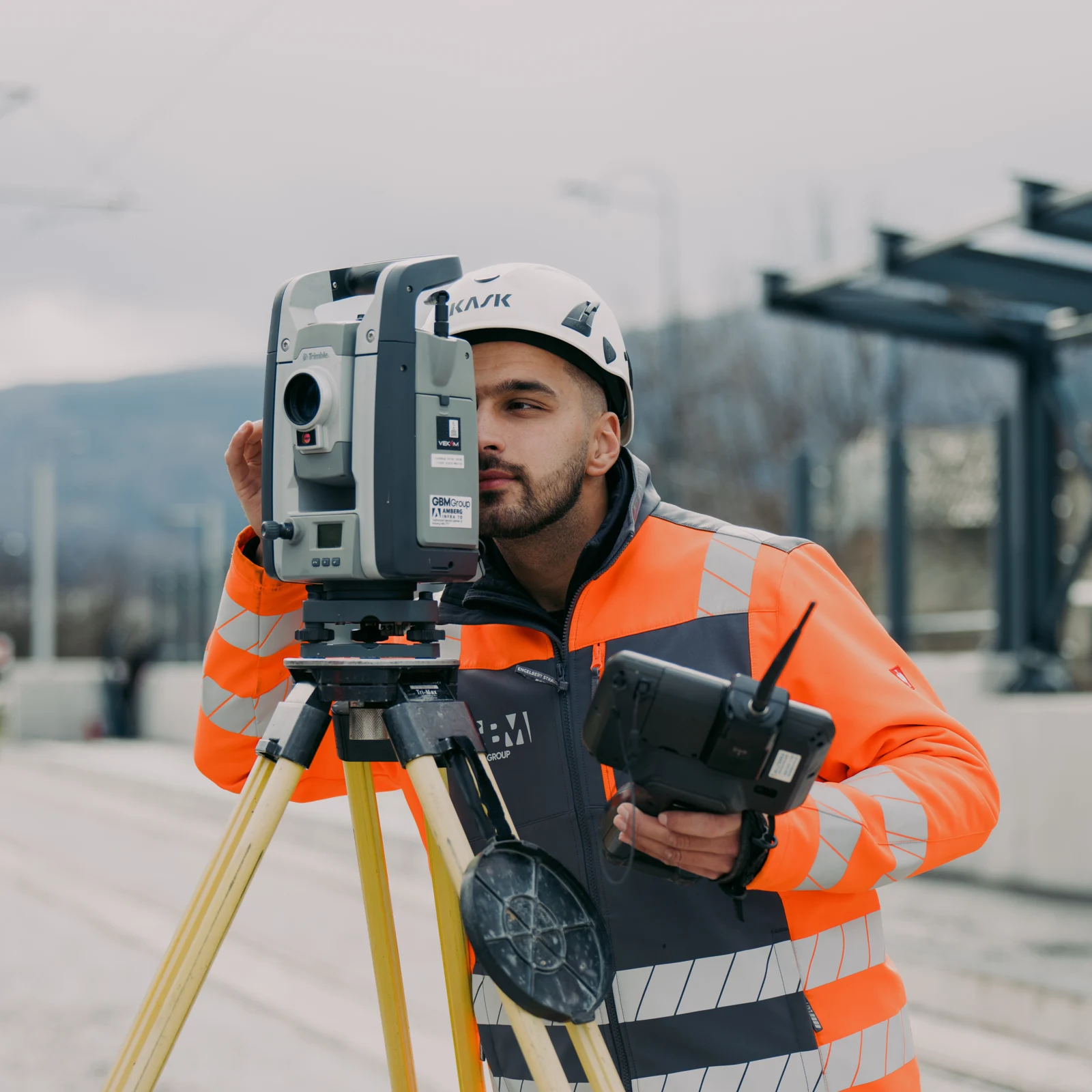
05High-precision surveying, setting-out and geodetic control for construction, infrastructure and engineering projects.
 06
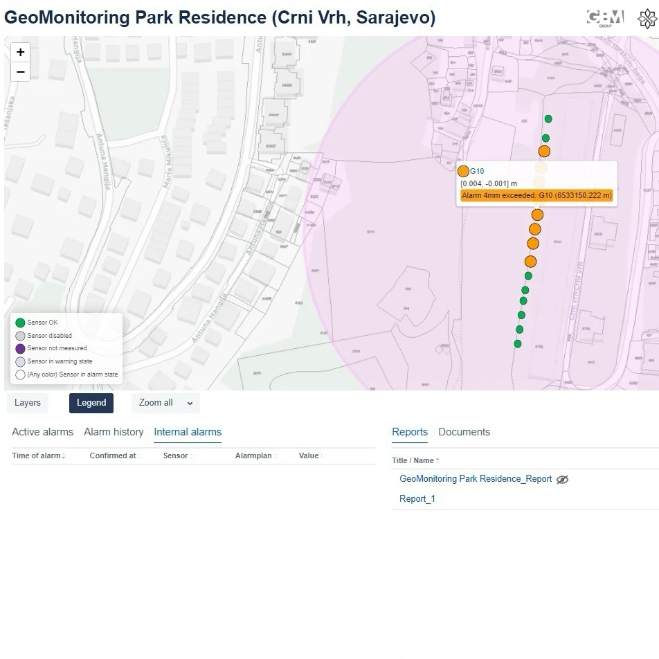
06Monitor and visualise data with GEOvis, a platform designed for projects of any size, from small construction sites to large infrastructure projects.
ABOUT GBM GROUP
We connect the physical world with the digital one.
GBM Group is a geospatial and BIM company delivering high-precision reality capture, surveying and digital engineering solutions for the AEC and infrastructure industries worldwide.
Our expertise combines advanced geospatial technologies with professional BIM and CAD workflows, from 3D Laser Scanning, Mobile Mapping, LiDAR Mapping, UAV Photogrammetry and Engineering Geodesy to Point Cloud Processing, SCAN2BIM and SCAN2CAD.
We support projects throughout the entire data lifecycle: from field acquisition and geodetic measurement to processing, modeling and the delivery of accurate, structured and reliable digital documentation.
Through continuous investment in technology, professional development and international partnerships, we maintain high standards of accuracy, efficiency and quality. Our approach is built on precision, reliability and long-term cooperation, with solutions tailored to the technical demands of each project.
GBM Group is an Authorized Service Partner of Amberg Infra 7D, providing professional services and technical expertise for the processing, analysis and delivery of geospatial data for railway and infrastructure projects.
Through this partnership, we combine our geospatial expertise with Amberg Infra 7D technology to deliver accurate, efficient and reliable solutions for infrastructure projects.
Years of experience
Team members
Projects
Countries worldwide
CAPTURE. PROCESS. MODEL.
INTERNATIONAL PARTNERSHIP

A Swiss company meeting global demands. Founded in 2024, with about 20 employees, more than 40 years of experience as the service department of Amberg Technologies AG, and over 15 long-standing international partners.
Part of the Amberg Group, bringing together interdisciplinary planning, consulting, project management, research and development for civil infrastructure systems, with significant projects nationally and internationally.








TECHNOLOGY & EQUIPMENT
Technology is at the core of everything we do. Professional surveying and reality capture equipment. Advanced processing, BIM and CAD software. One connected workflow.
Industry-leading surveying, reality capture and LiDAR technologies for high-precision data acquisition at any scale.
Transforming complex spatial data into project-ready deliverables.
CAREERS
We are always looking for talented and motivated professionals who share our passion for geospatial technologies, BIM and digital engineering.
Work on challenging international projects, develop your skills and grow alongside our team, whether you are an experienced professional or at the beginning of your career.
Send us your CV and tell us how you can contribute.
Join our teamGET IN TOUCH
Barska 59
71000 Sarajevo
Bosnia and Herzegovina
ID-Nr.: 420264144007
Tax-Nr.: 20264144007